
|
January 6, 2014 |
|
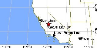
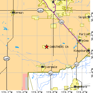
Caruthers, CAFresno County, California
Latitude: 36.540356 Longitude: -119.836637Population 2,103 (2000)Elevation of Caruthers, California: 244 feet |
|
Population 2000: 2,103 (2000 Census) Population 1990: 1,603 (1990 Census) Population Growth 1990 to 2000: 31.19% Population (2000 Census): 2,103 Male: 1,024 (48.69%) Female: 1,079 (51.31%) Median age: 29.00 years Races, 2000 Census: Hispanic or Latino: 53.26% White: 36.52% Other race: 30.91% Two or more races: 9.65% Asian: 6.18% Black or African American: 0.57% American Indian: 0.29% Housing Units: 602 (2000 Census) Land Area: 1.9982 square miles Most populous zip code: 93609 |
 |