
|
January 6, 2014 |
|
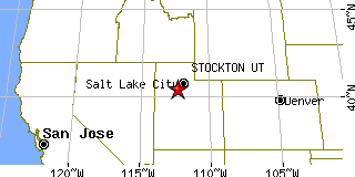
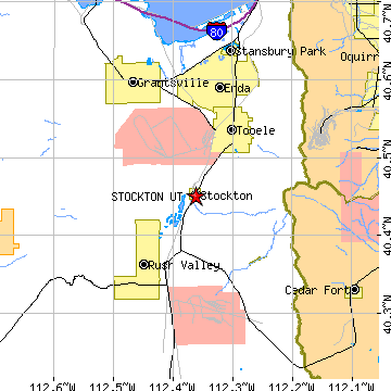
Stockton, UTTooele County, Utah
Latitude: 40.451052 Longitude: -112.361977Population 573 (2005)Elevation of Stockton, Utah: 5068 feet |
|
Population 2005: 573 Population 2004: 574 Population 2003: 558 Population 2002: 529 Population 2001: 504 Population 2000: 443 (2000 Census) Population 1990: 426 (1990 Census) Population Growth 2000 to 2005: 29.35% Population Growth 1990 to 2000: 3.99% Population (2000 Census): 443 Male: 231 (52.14%) Female: 212 (47.86%) Median age: 34.20 years Races, 2000 Census: White: 91.65% Hispanic or Latino: 6.32% Other race: 2.71% American Indian: 0.90% Asian: 0.45% Housing Units: 168 (2000 Census) Land Area: 0.9450 square miles Most populous zip code: 84071 |
 |