
|
January 6, 2014 |
|
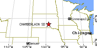
Chamberlain, SDBrule County, South Dakota
Latitude: 43.805548 Longitude: -99.328444Population 2,259 (2005)Elevation of Chamberlain, South Dakota: 1465 feet |
|
Population 2005: 2,259 Population 2004: 2,258 Population 2003: 2,267 Population 2002: 2,260 Population 2001: 2,284 Population 2000: 2,338 (2000 Census) Population 1990: 2,347 (1990 Census) Population Growth 2000 to 2005: -3.38% Population Growth 1990 to 2000: -0.38% Population (2000 Census): 2,338 Male: 1,081 (46.24%) Female: 1,257 (53.76%) Median age: 38.10 years Races, 2000 Census: White: 86.44% American Indian: 10.18% Two or more races: 1.84% Hispanic or Latino: 0.68% Black or African American: 0.60% Asian: 0.38% Other race: 0.13% Native Hawaiian / Other Pacific Islander: 0.04% Housing Units: 1,044 (2000 Census) Land Area: 6.4808 square miles Water Area: 0.0378 square miles Most populous zip code: 57325 |
 |