
|
January 6, 2014 |
|
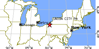
Union City, PAErie County, Pennsylvania
Latitude: 41.896056 Longitude: -79.844425Population 3,364 (2005) |
|
Population 2005: 3,364 Population 2004: 3,383 Population 2003: 3,425 Population 2002: 3,432 Population 2001: 3,444 Population 2000: 3,463 (2000 Census) Population 1990: 3,537 (1990 Census) Population Growth 2000 to 2005: -2.86% Population Growth 1990 to 2000: -2.09% Population (2000 Census): 3,463 Male: 1,630 (47.07%) Female: 1,833 (52.93%) Median age: 32.50 years Races, 2000 Census: White: 97.34% Hispanic or Latino: 0.84% Asian: 0.75% Two or more races: 0.61% American Indian: 0.32% Other race: 0.23% Black or African American: 0.14% Native Hawaiian / Other Pacific Islander: 0.03% Housing Units: 1,422 (2000 Census) Land Area: 1.8733 square miles Most populous zip code: 16438 |
 |