

|
January 6, 2014 |
|
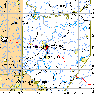
Kittanning, PAArmstrong County, Pennsylvania
Latitude: 40.820085 Longitude: -79.521398Population 4,454 (2005) |
|
Population 2005: 4,454 Population 2004: 4,527 Population 2003: 4,569 Population 2002: 4,604 Population 2001: 4,642 Population 2000: 4,787 (2000 Census) Population 1990: 5,120 (1990 Census) Population Growth 2000 to 2005: -6.96% Population Growth 1990 to 2000: -6.50% Population (2000 Census): 4,787 Male: 2,164 (45.21%) Female: 2,623 (54.79%) Median age: 39.50 years Races, 2000 Census: White: 96.80% Black or African American: 1.57% Hispanic or Latino: 0.67% Two or more races: 0.56% Asian: 0.25% American Indian: 0.23% Other race: 0.08% Housing Units: 2,251 (2000 Census) Land Area: 1.0372 square miles Most populous zip code: 16201 |
 |