

|
January 6, 2014 |
|
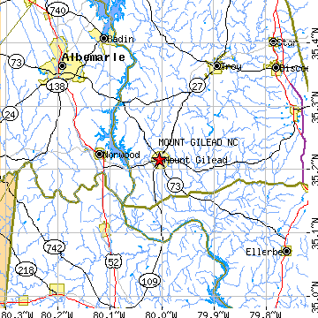
Mount Gilead, NCMontgomery County, North Carolina
Latitude: 35.215793 Longitude: -80.005252Population 1,387 (2005)Elevation of Mount Gilead, North Carolina: 294 feet |
|
Population 2005: 1,387 Population 2004: 1,387 Population 2003: 1,381 Population 2002: 1,371 Population 2001: 1,374 Population 2000: 1,389 (2000 Census) Population 1990: 1,336 (1990 Census) Population Growth 2000 to 2005: -0.14% Population Growth 1990 to 2000: 3.97% Population (2000 Census): 1,389 Male: 621 (44.71%) Female: 768 (55.29%) Median age: 38.30 years Races, 2000 Census: Black or African American: 50.04% White: 46.00% Asian: 2.16% Two or more races: 0.72% Hispanic or Latino: 0.58% American Indian: 0.50% Other race: 0.29% Housing Units: 553 (2000 Census) Land Area: 3.2748 square miles Most populous zip code: 27306 |
 |