

|
January 6, 2014 |
|
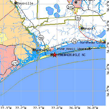
Emerald Isle, NCCarteret County, North Carolina
Latitude: 34.666994 Longitude: -77.013482Population 3,686 (2005)Elevation of Emerald Isle, North Carolina: 15 feet |
|
Population 2005: 3,686 Population 2004: 3,637 Population 2003: 3,567 Population 2002: 3,520 Population 2001: 3,505 Population 2000: 3,488 (2000 Census) Population 1990: 2,434 (1990 Census) Population Growth 2000 to 2005: 5.68% Population Growth 1990 to 2000: 43.30% Population (2000 Census): 3,488 Male: 1,791 (51.35%) Female: 1,697 (48.65%) Median age: 50.10 years Races, 2000 Census: White: 95.61% Hispanic or Latino: 1.63% Two or more races: 1.12% Black or African American: 0.80% Asian: 0.63% American Indian: 0.46% Other race: 0.29% Native Hawaiian / Other Pacific Islander: 0.03% Housing Units: 6,017 (2000 Census) Land Area: 5.2424 square miles Water Area: 0.0348 square miles Most populous zip code: 28594 |
 |