

|
January 6, 2014 |
|
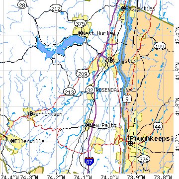
Rosendale, NYUlster County, New York
Latitude: 41.846938 Longitude: -74.076022Population 1,654 (2000) |
|
Population 2000: 1,654 (2000 Zip Code Based Est.) Population 1990: 1,284 (1990 Census) Population Growth 1990 to 2000: 28.82% Housing Units: 816 (2000 Zip Code Based Est.) Land Area: 3.8133 square miles Most populous zip code: 12472 |
 |