

|
January 6, 2014 |
|
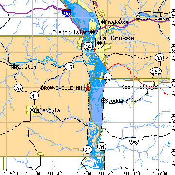
Brownsville, MNHouston County, Minnesota
Latitude: 43.698597 Longitude: -91.280658Population 531 (2005) |
|
Population 2005: 531 Population 2004: 527 Population 2003: 529 Population 2002: 529 Population 2001: 529 Population 2000: 517 (2000 Census) Population 1990: 415 (1990 Census) Population Growth 2000 to 2005: 2.71% Population Growth 1990 to 2000: 24.58% Population (2000 Census): 517 Male: 274 (53.00%) Female: 243 (47.00%) Median age: 40.70 years Races, 2000 Census: White: 98.84% Hispanic or Latino: 0.58% American Indian: 0.39% Two or more races: 0.19% Housing Units: 273 (2000 Census) Land Area: 1.7893 square miles Water Area: 0.1533 square miles Most populous zip code: 55919 |
 |