

|
January 6, 2014 |
|
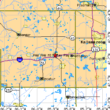
Paw Paw, MIVan Buren County, Michigan
Latitude: 42.217088 Longitude: -85.890106Population 3,328 (2005) |
|
Population 2005: 3,328 Population 2004: 3,350 Population 2003: 3,368 Population 2002: 3,384 Population 2001: 3,397 Population 2000: 3,363 (2000 Census) Population 1990: 6,951 (1990 Census) Population Growth 2000 to 2005: -1.04% Population Growth 1990 to 2000: -51.62% Population (2000 Census): 3,363 Male: 1,625 (48.32%) Female: 1,738 (51.68%) Median age: 36.30 years Races, 2000 Census: White: 91.35% Hispanic or Latino: 2.97% Black or African American: 2.85% Two or more races: 1.96% Other race: 1.19% American Indian: 0.83% Asian: 0.27% Native Hawaiian / Other Pacific Islander: 0.06% Housing Units: 1,511 (2000 Census) Land Area: 2.6637 square miles Water Area: 0.2120 square miles Most populous zip code: 49079 |
 |