
|
January 6, 2014 |
|
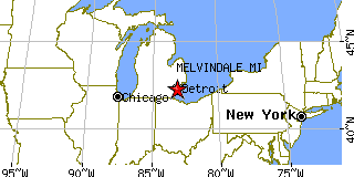
Melvindale, MIWayne County, Michigan
Latitude: 42.281638 Longitude: -83.181880Population 10,612 (2005) |
|
Population 2005: 10,612 Population 2004: 10,706 Population 2003: 10,602 Population 2002: 10,624 Population 2001: 10,693 Population 2000: 10,735 (2000 Census) Population 1990: 11,216 (1990 Census) Population Growth 2000 to 2005: -1.15% Population Growth 1990 to 2000: -4.29% Population (2000 Census): 10,735 Male: 5,262 (49.02%) Female: 5,473 (50.98%) Median age: 35.70 years Races, 2000 Census: White: 81.72% Hispanic or Latino: 8.90% Black or African American: 5.26% Two or more races: 2.88% Other race: 2.39% Asian: 1.29% American Indian: 0.75% Native Hawaiian / Other Pacific Islander: 0.04% Housing Units: 4,760 (2000 Census) Land Area: 2.7690 square miles Most populous zip code: 48122 |
 |