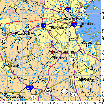
WESTWOOD is located in NORFOLK county, Massachusetts at latitude 42.212949 and longitude -71.207350. The population of WESTWOOD is 14,087 as of the year 2000. The most common zip code of WESTWOOD is
02090.
|
|
Population 2000: 14,087 (2000 Zip Code Based Est.)
Housing Units: 5,239 (2000 Zip Code Based Est.)
Land Area: 10.7592 square miles
Water Area: 0.1472 square miles
Most populous zip code: 02090
|
 |
|
Cities & Towns nearby Westwood
Norwood, MA 1.9mi S
Dedham, MA 3.1mi NE
Dover, MA 4mi WNW
East Walpole, MA 4.1mi S
Canton, MA 4.9mi SE
Hyde Park, MA 5mi ENE
Needham, MA 5.2mi NNW
West Roxbury, MA 5.2mi NNE
Medfield, MA 5.3mi WSW
Walpole, MA 5.4mi SSW
US Beacon Home

