

|
January 6, 2014 |
|
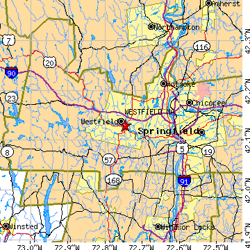
Westfield, MAHampden County, Massachusetts
Latitude: 42.129492 Longitude: -72.745986Population 40,525 (2005)Elevation of Westfield, Massachusetts: 140 feet |
|
Population 2005: 40,525 Population 2004: 40,529 Population 2003: 40,547 Population 2002: 40,319 Population 2001: 40,077 Population 2000: 40,072 (2000 Census) Population 1990: 38,372 (1990 Census) Population Growth 2000 to 2005: 1.13% Population Growth 1990 to 2000: 4.43% Population (2000 Census): 40,072 Male: 19,385 (48.38%) Female: 20,687 (51.62%) Median age: 35.80 years Races, 2000 Census: White: 92.07% Hispanic or Latino: 5.01% Other race: 2.12% Two or more races: 1.34% Black or African American: 0.91% Asian: 0.82% American Indian: 0.22% Native Hawaiian / Other Pacific Islander: 0.05% Housing Units: 15,441 (2000 Census) Land Area: 46.5785 square miles Water Area: 0.7368 square miles Most populous zip code: 01085 |
 |