
|
January 6, 2014 |
|
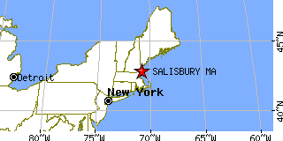
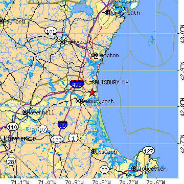
Salisbury, MAEssex County, Massachusetts
Latitude: 42.839635 Longitude: -70.836917Population 4,484 (2000)Elevation of Salisbury, Massachusetts: 25 feet |
|
Population 2000: 4,484 (2000 Census) Population 1990: 3,729 (1990 Census) Population Growth 1990 to 2000: 20.25% Population (2000 Census): 4,484 Male: 2,204 (49.15%) Female: 2,280 (50.85%) Median age: 39.40 years Races, 2000 Census: White: 96.32% Hispanic or Latino: 1.47% Two or more races: 0.98% Black or African American: 0.54% Asian: 0.49% Other race: 0.33% American Indian: 0.27% Native Hawaiian / Other Pacific Islander: 0.16% Housing Units: 2,927 (2000 Census) Land Area: 5.8976 square miles Water Area: 1.4795 square miles Most populous zip code: 01952 |
 |