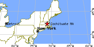
|
|
Population 2000: 6,768 (2000 Census)
Population 1990: 6,046 (1990 Census)
Population Growth 1990 to 2000: 11.94%
Population (2000 Census): 6,768
Male: 3,231 (47.74%)
Female: 3,537 (52.26%)
Median age: 41.70 years
Races, 2000 Census:
White: 90.25%
Asian: 6.24%
Two or more races: 1.55%
Hispanic or Latino: 1.00%
Black or African American: 0.93%
Other race: 0.24%
American Indian: 0.09%
Native Hawaiian / Other Pacific Islander: 0.06%
Housing Units: 2,516 (2000 Census)
Land Area: 3.8333 square miles
Water Area: 0.3245 square miles
Most populous zip code:
|
 |

|
Cities & Towns nearby Cochituate
Wayland, MA 1.3mi N
Natick, MA 2.6mi S
Framingham, MA 3.9mi WSW
Wellesley, MA 4mi ESE
Weston, MA 4.3mi ENE
Wellesley Hills, MA 4.4mi ESE
Newton Lower Falls, MA 5.3mi E
Sudbury, MA 5.3mi NW
Auburndale, MA 5.9mi ENE
Waban, MA 6.6mi E
US Beacon Home


