

|
January 6, 2014 |
|
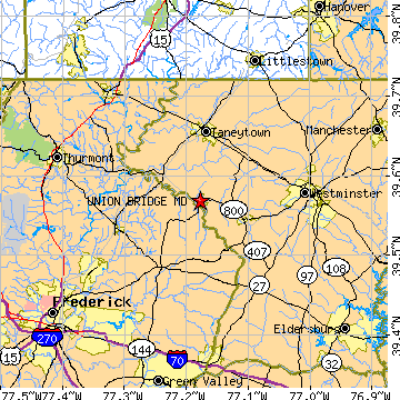
Union Bridge, MDCarroll County, Maryland
Latitude: 39.568550 Longitude: -77.177618Population 1,085 (2005)Elevation of Union Bridge, Maryland: 496 feet |
|
Population 2005: 1,085 Population 2004: 1,079 Population 2003: 1,068 Population 2002: 1,055 Population 2001: 1,036 Population 2000: 989 (2000 Census) Population 1990: 910 (1990 Census) Population Growth 2000 to 2005: 9.71% Population Growth 1990 to 2000: 8.68% Population (2000 Census): 989 Male: 486 (49.14%) Female: 503 (50.86%) Median age: 35.90 years Races, 2000 Census: White: 92.52% Black or African American: 5.56% Two or more races: 1.11% Hispanic or Latino: 0.51% American Indian: 0.40% Asian: 0.10% Housing Units: 409 (2000 Census) Land Area: 0.8503 square miles Most populous zip code: 21791 |
 |