

|
January 6, 2014 |
|
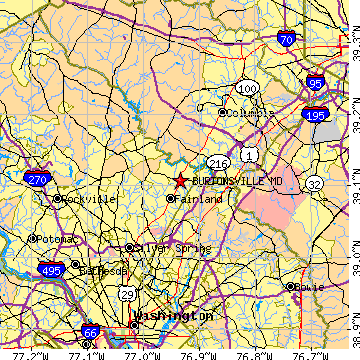
Burtonsville, MDMontgomery County, Maryland
Latitude: 39.107475 Longitude: -76.934115Population 7,305 (2000)Elevation of Burtonsville, Maryland: 453 feet |
|
Population 2000: 7,305 (2000 Census) Population 1990: 5,853 (1990 Census) Population Growth 1990 to 2000: 24.81% Population (2000 Census): 7,305 Male: 3,483 (47.68%) Female: 3,822 (52.32%) Median age: 34.90 years Races, 2000 Census: White: 48.91% Black or African American: 25.42% Asian: 17.62% Hispanic or Latino: 5.60% Two or more races: 3.04% Other race: 1.64% American Indian: 0.22% Native Hawaiian / Other Pacific Islander: 0.01% Housing Units: 2,533 (2000 Census) Land Area: 7.8116 square miles Water Area: 0.1540 square miles Most populous zip code: 20866 |
 |