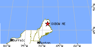
OXBOW is located in AROOSTOOK county, Maine at latitude 46.416656 and longitude -68.476466. The population of OXBOW is 57 as of the year 2000. The most common zip code of OXBOW is
04764.
|
|
Population 2000: 57 (2000 Zip Code Based Est.)
Housing Units: 88 (2000 Zip Code Based Est.)
Land Area: 30.8720 square miles
Water Area: 0.0031 square miles
Most populous zip code: 04764
|
 |

|
Cities & Towns nearby Oxbow
Masardis, ME 7.5mi NE
Ashland, ME 15.6mi N
Smyrna Mills, ME 21mi SE
Mapleton, ME 24.3mi NE
Portage, ME 25mi N
Westfield, ME 26.7mi ENE
Patten, ME 27.1mi S
Oakfield, ME 27.7mi SE
Bridgewater, ME 27.7mi E
Presque Isle, ME 28.9mi NE
US Beacon Home