

|
January 6, 2014 |
|
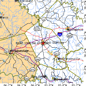
Mount Sterling, KYMontgomery County, Kentucky
Latitude: 38.056613 Longitude: -83.944500Population 6,317 (2005)Elevation of Mount Sterling, Kentucky: 960 feet |
|
Population 2005: 6,317 Population 2004: 6,135 Population 2003: 6,066 Population 2002: 6,028 Population 2001: 5,949 Population 2000: 5,876 (2000 Census) Population 1990: 5,362 (1990 Census) Population Growth 2000 to 2005: 7.51% Population Growth 1990 to 2000: 9.59% Population (2000 Census): 5,876 Male: 2,717 (46.24%) Female: 3,159 (53.76%) Median age: 36.60 years Races, 2000 Census: White: 88.22% Black or African American: 8.73% Hispanic or Latino: 1.68% Two or more races: 1.02% Other race: 0.75% American Indian: 0.22% Asian: 0.19% Housing Units: 2,768 (2000 Census) Land Area: 3.4384 square miles Most populous zip code: 40353 |
 |