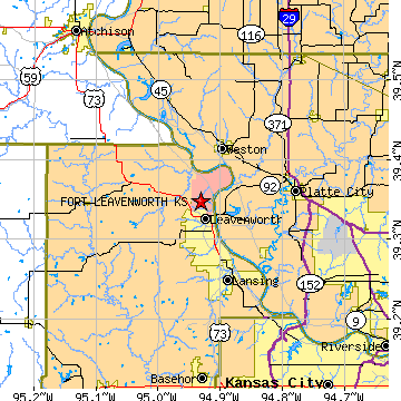
FORT LEAVENWORTH is located in LEAVENWORTH county, Kansas at latitude 39.348031 and longitude -94.931774. The population of FORT LEAVENWORTH is 6,638 as of the year 2000. The most common zip code of FORT LEAVENWORTH is
66027.
|
|
Population 2000: 6,638 (2000 Zip Code Based Est.)
Housing Units: 1,611 (2000 Zip Code Based Est.)
Land Area: 8.9504 square miles
Water Area: 0.0198 square miles
Most populous zip code: 66027
|
 |
|
Cities & Towns nearby Fort Leavenworth
Leavenworth, KS 2.8mi S
Weston, MO 4.9mi NNE
Farley, MO 7mi SE
Lansing, KS 7.2mi SSE
Tracy, MO 7.7mi ENE
Platte City, MO 8.5mi E
Iatan, MO 9.2mi NNW
Easton, KS 9.9mi W
Potter, KS 11.8mi WNW
Camden Point, MO 12.3mi NE
US Beacon Home

