

|
January 6, 2014 |
|
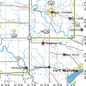
Houghton, IALee County, Iowa
Latitude: 40.783009 Longitude: -91.612605Population 127 (2005)Elevation of Houghton, Iowa: 715 feet |
|
Population 2005: 127 Population 2004: 122 Population 2003: 120 Population 2002: 122 Population 2001: 130 Population 2000: 130 (2000 Census) Population 1990: 127 (1990 Census) Population Growth 2000 to 2005: -2.31% Population Growth 1990 to 2000: 2.36% Population (2000 Census): 130 Male: 62 (47.69%) Female: 68 (52.31%) Median age: 44.50 years Races, 2000 Census: White: 100.00% Housing Units: 61 (2000 Census) Land Area: 0.3015 square miles Most populous zip code: 52631 |
 |