

|
January 6, 2014 |
|
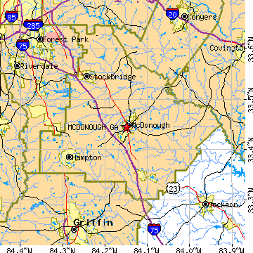
Mcdonough, GAHenry County, Georgia
Latitude: 33.445037 Longitude: -84.149043Population 15,523 (2005)Elevation of Mcdonough, Georgia: 803 feet |
|
Population 2005: 15,523 Population 2004: 13,712 Population 2003: 11,626 Population 2002: 10,231 Population 2001: 9,211 Population 2000: 8,493 (2000 Census) Population 1990: 2,929 (1990 Census) Population Growth 2000 to 2005: 82.77% Population Growth 1990 to 2000: 189.96% Population (2000 Census): 8,493 Male: 4,030 (47.45%) Female: 4,463 (52.55%) Median age: 31.40 years Races, 2000 Census: White: 59.93% Black or African American: 34.30% Hispanic or Latino: 3.47% Other race: 1.78% Asian: 1.39% Two or more races: 0.99% American Indian: 0.16% Housing Units: 3,234 (2000 Census) Land Area: 7.7644 square miles Water Area: 0.0405 square miles Most populous zip code: 30253 |
 |