
|
January 6, 2014 |
|
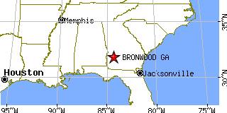
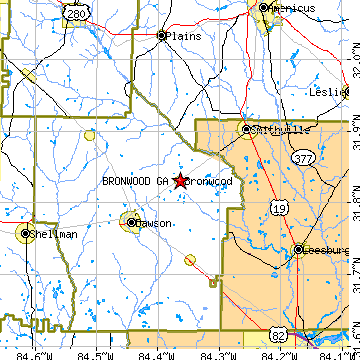
Bronwood, GATerrell County, Georgia
Latitude: 31.830959 Longitude: -84.363942Population 485 (2005)Elevation of Bronwood, Georgia: 944 feet |
|
Population 2005: 485 Population 2004: 495 Population 2003: 500 Population 2002: 501 Population 2001: 509 Population 2000: 513 (2000 Census) Population 1990: 513 (1990 Census) Population Growth 2000 to 2005: -5.46% Population Growth 1990 to 2000: 0.00% Population (2000 Census): 513 Male: 233 (45.42%) Female: 280 (54.58%) Median age: 34.50 years Races, 2000 Census: Black or African American: 65.69% White: 32.75% Hispanic or Latino: 1.17% American Indian: 0.39% Housing Units: 203 (2000 Census) Land Area: 0.7908 square miles Most populous zip code: 31726 |
 |