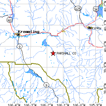
PARSHALL is located in GRAND county, Colorado at latitude 39.967717 and longitude -106.162058. The population of PARSHALL is 588 as of the year 2000. The most common zip code of PARSHALL is
80468.
|
|
Population 2000: 588 (2000 Zip Code Based Est.)
Housing Units: 299 (2000 Zip Code Based Est.)
Land Area: 261.7950 square miles
Water Area: 0.3101 square miles
Most populous zip code: 80468
|
 |
|
Cities & Towns nearby Parshall
Hot Sulphur Springs, CO 8mi NNE
Kremmling, CO 13.4mi WNW
Granby, CO 14.5mi NE
Tabernash, CO 16.8mi E
Fraser, CO 18.5mi E
Winter Park, CO 20.8mi ESE
Bond, CO 22.8mi WSW
Silverthorne, CO 23.2mi SSE
Dillon, CO 24.3mi SSE
Vail, CO 25.3mi SSW
US Beacon Home

