
|
January 6, 2014 |
|
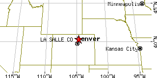
La Salle, COWeld County, Colorado
Latitude: 40.350681 Longitude: -104.702914Population 1,895 (2005)Elevation of La Salle, Colorado: 4676 feet |
|
Population 2005: 1,895 Population 2004: 1,827 Population 2003: 1,790 Population 2002: 1,823 Population 2001: 1,829 Population 2000: 1,849 (2000 Census) Population 1990: 1,783 (1990 Census) Population Growth 2000 to 2005: 2.49% Population Growth 1990 to 2000: 3.70% Population (2000 Census): 1,849 Male: 932 (50.41%) Female: 917 (49.59%) Median age: 33.00 years Races, 2000 Census: White: 65.93% Hispanic or Latino: 31.64% Other race: 16.12% Two or more races: 3.52% American Indian: 0.76% Black or African American: 0.38% Native Hawaiian / Other Pacific Islander: 0.22% Asian: 0.16% Housing Units: 669 (2000 Census) Land Area: 0.6911 square miles Most populous zip code: 80645 |
 |