

|
January 6, 2014 |
|
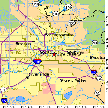
Loma Linda, CASan Bernardino County, California
Latitude: 34.048364 Longitude: -117.250648Population 20,901 (2005)Elevation of Loma Linda, California: 1160 feet |
|
Population 2005: 20,901 Population 2004: 20,302 Population 2003: 20,076 Population 2002: 19,783 Population 2001: 19,246 Population 2000: 18,681 (2000 Census) Population 1990: 17,400 (1990 Census) Population Growth 2000 to 2005: 11.88% Population Growth 1990 to 2000: 7.36% Population (2000 Census): 18,681 Male: 8,659 (46.35%) Female: 10,022 (53.65%) Median age: 34.00 years Races, 2000 Census: White: 47.10% Asian: 24.38% Hispanic or Latino: 16.33% Other race: 7.51% Black or African American: 7.21% Two or more races: 6.05% American Indian: 0.49% Native Hawaiian / Other Pacific Islander: 0.18% Housing Units: 8,084 (2000 Census) Land Area: 7.3498 square miles Water Area: 0.0017 square miles Most populous zip code: 92354 |
 |