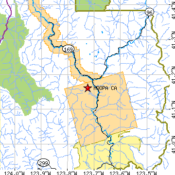
HOOPA is located in HUMBOLDT county, California at latitude 41.161505 and longitude -123.724442. The population of HOOPA is 3,040 as of the year 2000. The most common zip code of HOOPA is
95546.
|
|
Population 2000: 3,040 (2000 Zip Code Based Est.)
Housing Units: 1,209 (2000 Zip Code Based Est.)
Land Area: 140.4389 square miles
Water Area: 1.6706 square miles
Most populous zip code: 95546
|
 |
|
Cities & Towns nearby Hoopa
Orleans, CA 13.4mi NE
Willow Creek, CA 18mi S
Orick, CA 19.5mi WNW
Salyer, CA 20.5mi SSE
Westhaven-moonstone, CA 21.8mi WSW
Trinidad, CA 22.8mi WSW
Blue Lake, CA 23.8mi SW
Somes Bar, CA 24mi NNE
Burnt Ranch, CA 24.1mi SE
Mckinleyville, CA 24.6mi SW
US Beacon Home

