

|
January 6, 2014 |
|
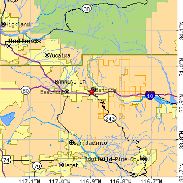
Banning, CARiverside County, California
Latitude: 33.931729 Longitude: -116.897557Population 29,308 (2005)Elevation of Banning, California: 2400 feet |
|
Population 2005: 29,308 Population 2004: 28,681 Population 2003: 27,269 Population 2002: 25,535 Population 2001: 24,412 Population 2000: 23,562 (2000 Census) Population 1990: 20,570 (1990 Census) Population Growth 2000 to 2005: 24.39% Population Growth 1990 to 2000: 14.55% Population (2000 Census): 23,562 Male: 11,220 (47.62%) Female: 12,342 (52.38%) Median age: 40.70 years Races, 2000 Census: White: 52.43% Hispanic or Latino: 30.21% Other race: 14.88% Black or African American: 8.55% Asian: 5.38% Two or more races: 4.36% American Indian: 2.52% Native Hawaiian / Other Pacific Islander: 0.13% Housing Units: 9,761 (2000 Census) Land Area: 23.0538 square miles Most populous zip code: 92220 |
 |