
|
January 6, 2014 |
|
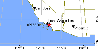
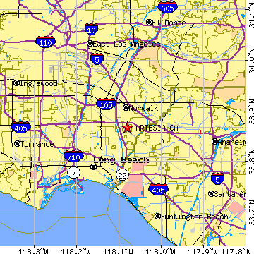
Artesia, CALos Angeles County, California
Latitude: 33.867215 Longitude: -118.080622Population 16,672 (2005) |
|
Population 2005: 16,672 Population 2004: 16,748 Population 2003: 16,736 Population 2002: 16,646 Population 2001: 16,545 Population 2000: 16,380 (2000 Census) Population 1990: 15,464 (1990 Census) Population Growth 2000 to 2005: 1.78% Population Growth 1990 to 2000: 5.92% Population (2000 Census): 16,380 Male: 8,212 (50.13%) Female: 8,168 (49.87%) Median age: 33.90 years Races, 2000 Census: Hispanic or Latino: 38.29% Asian: 27.41% White: 27.25% Other race: 18.47% Two or more races: 5.07% Black or African American: 3.55% American Indian: 0.78% Native Hawaiian / Other Pacific Islander: 0.54% Housing Units: 4,598 (2000 Census) Land Area: 1.6176 square miles Most populous zip code: 90701 |
 |